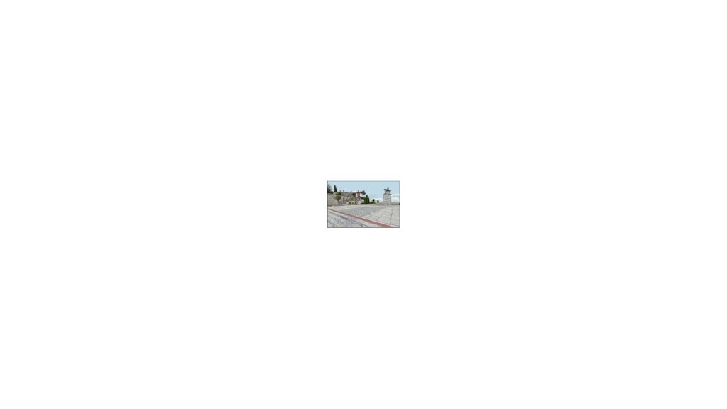

The project involved the three-dimensional digitization and reconstruction of urban areas. The project deals with the idea of combining the usage of commercial and open source software systems in 3D graphics in order to produce realistic virtual walkthroughs for culture heritage promotion with a minimum budget and low cost infrastructure.

We have attempted the 3D reconstruction of three urban areas from three different cities without the use of any expensive equipment (e.g. commercial 3D range scanners based on techniques like triangulation, modulation or time-of-flight).

We have produced a fully textured 3D model that can be easily accessed from the Internet using a VRML viewer plugin for the browser. Acceptable downloading times have been achieved even for slow connections by reducing the texture map quality.
Access to the three-dimensional reconstructions requires the installation of a VRML viewer.
Historical archive item imported from the former MediaLab website. Original source: https://multimedia.athenarc.gr/3d-digitization-of-urban-areas/
You may also like
-
3D-4CH reaches the halfway point in building Europe’s 3D digital heritage community
-
3D-4CH workshop brings hands-on 3D heritage training to Brussels
-
3D-4CH Online Competence Centre for 3D Cultural Heritage goes live
-
ARGUS advances remote sensing and on-site data collection for heritage preservation
-
ARGUS integrates data fusion, digital twin ontology and diagnostic methods